 |
 |
 Thousands of
pages of detailed information about The Gambia, West Africa. Thousands of
pages of detailed information about The Gambia, West Africa. |
|
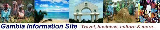
Gambia
Information Site |
|
| |
|
|
|
|
 COUNTRY OVERVIEW:
The Gambia,
in West Africa, is a slither of a country with a total area of
11,300 sq. km (land 10,000 sq. km, water 1,300 sq. km.) and its
only land boundary is with Senegal at 740km. The country has a
population
of 2,827,453 million (2024 est.)
It has an Atlantic
Ocean facing coastline
measuring 80km which runs south from Buniada Point on Jinack
Island to the Allahein River in Kartong.
The Gambia
River courses east for approximately 487 km and roughly through
the middle of the country and finally passes over Koina village,
northeast of the border.

   
 The
Gambia's capital of Banjul
is located on St. Mary's Island on the south bank of the river
estuary and is cut off from the mainland by Oyster Creek and the
Daranka Bolong. Either side of both creeks are the Tanbi
Wetlands, characterised by mangroves, mudflats and saltwater
creeks as far south as Mandinari. The
Gambia's capital of Banjul
is located on St. Mary's Island on the south bank of the river
estuary and is cut off from the mainland by Oyster Creek and the
Daranka Bolong. Either side of both creeks are the Tanbi
Wetlands, characterised by mangroves, mudflats and saltwater
creeks as far south as Mandinari.
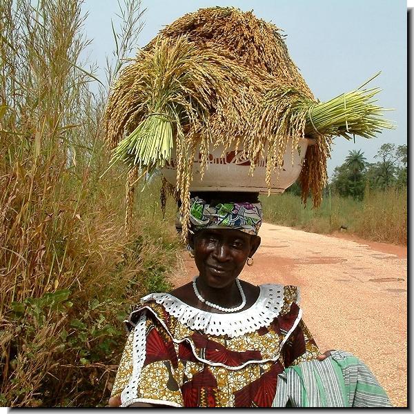
AGRICULTURE:
Agriculture
is the country's biggest export which is dominated by the main
cash crop - groundnuts. Local efforts have been made to diversify
farmers' incomes by moving them onto cashew cultivation and other
more profitable cash crops.
CUISINE:
Some of the various cooking
recipes prepared in The Gambia have been introduced by various
waves of immigrants from the Senegambia basin and other parts
of West Africa since the early 19th century. For example Jollof
Rice (Benachin) from Dakar.
CLIMATE:
The climate
of The Gambia can be divided into two general seasons of wet and
dry. Monsoon rains start from around mid-June to mid-October and
the dry season from mid-October to the first half of June. The
dry season is generally cooler and sometimes dustier.
DEFENCE:
On the defence front the army is composed of infantry battalions
in the GNG, GNA and the navy.
ECONOMY:
See economy,
economic
sectors and the business
guide.
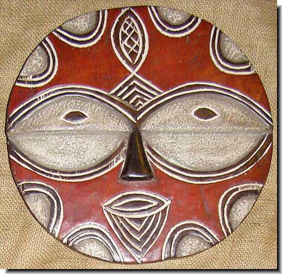
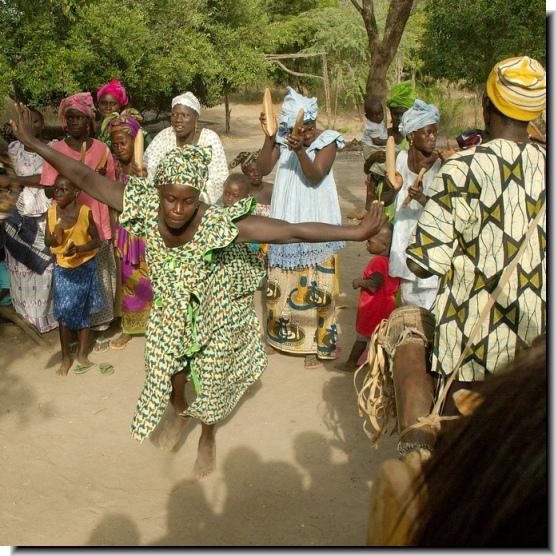
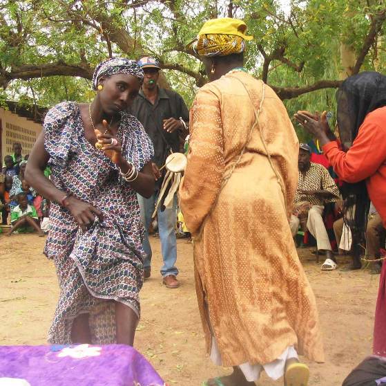
ETHNIC GROUPS:
The Gambia is a multi-ethnic society with a mix of peoples from
the West Africa sub-region with various cultural, religious and
linguistic differences living side by side. Ordinary citizen's
lives are marked by a number of rites of passage and traditional
rituals. There are at least 8 ethnic
groups each with its own and sometimes overlapping customs,
traditions and languages. There are over 10 languages
plus various dialects spoken, most of which are part of the Niger-Congo
linguistic family.
HISTORY:
At various times in its history
all or some of the country was a part of some of the great empires
of West Africa and local Senegambian kingdoms. Ancient pottery
artefacts have been unearthed which have been dated to around
5,500 bp. Rural villages with a knowledge of iron have been found
and dated to around AD 500.
The Gambia achieved internal self-government in 1963; gained independence
in 1965 and five years later became a republic with a president.
TRAVEL & TOURISM:
The cool, dry season from end October is when the travel
and tourism sector kicks into life until the end of the Easter
vacations of the following year, though some visitors continue
to arrive in smaller numbers until May. From most European airports
it takes about 6 hours flight time to arrive at Banjul
Airport. The country offers a less expensive alternative tropical
holiday destination than for example the Caribbean or South Asia.
There are various 2 to 5 star tourist hotels
in resorts
along about 12.5 km of various beaches and coastal cliffs starting
at Cape Point in Cape Saint Mary to the west of Banjul, south
past Kotu
and Kololi
and down to Bijilo
and Brufut. |
| |
|
Copyright ©
2009
Access
Gambia
All
Rights Reserved. |
|