Introduction:
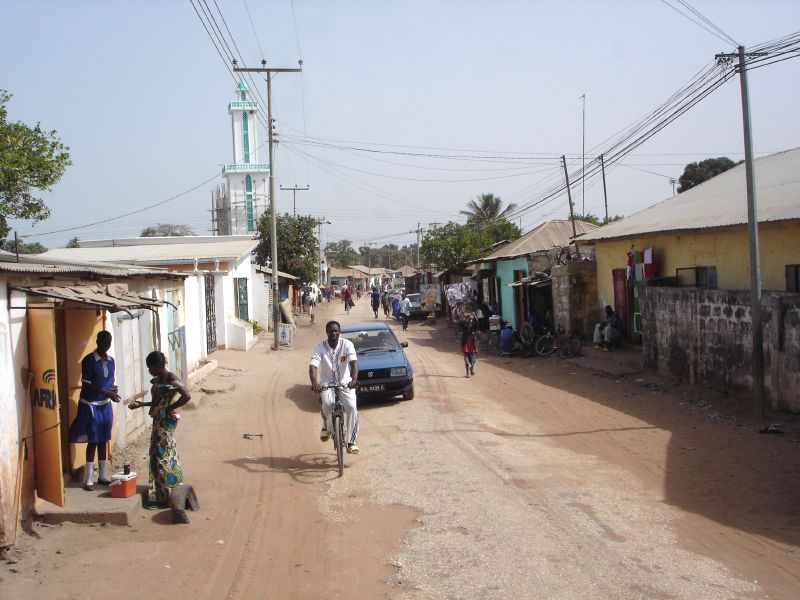
The sprawling suburb of Sukuta Village / Town in Gambia blends with Serrekunda's southern border and
has its regional headquarters in Brikama. The village has an estimated
population of 17,000 (2003 census) and is in Kombo East, Western
Region.
/ Town in Gambia blends with Serrekunda's southern border and
has its regional headquarters in Brikama. The village has an estimated
population of 17,000 (2003 census) and is in Kombo East, Western
Region.
It lies on geographical coordinates: 13° 10' 0" North, 16°
35' 0" West and lies at an altitude of 33 metres above sea
level.
The Alkali's name is Alhajie Kawsu Cham. A local charity from
Sweden called "Friends of
Sukuta" helps out the local community with fundraising
efforts to improve local facilities.
One significant aspect of the place is that it has The Gambia's
only dedicated campsite.
|
|
|
|