Introduction:
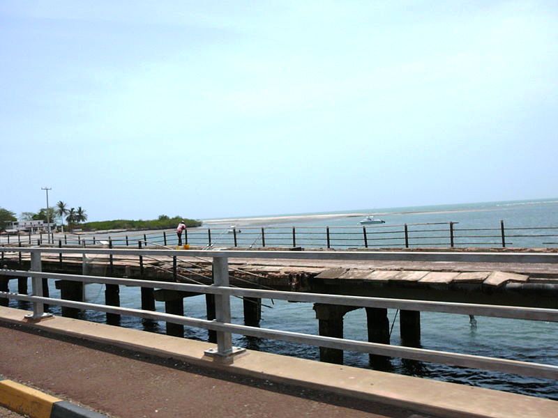
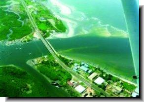
 The
bridge is situated at the mouth of Oyster Creek connects the mainland
with St. Mary's Island where the capital of Banjul is located
to the rest of the Gambia. The
bridge is situated at the mouth of Oyster Creek connects the mainland
with St. Mary's Island where the capital of Banjul is located
to the rest of the Gambia.
It was completed in 1986 and is 210 metres long and 20 metres
wide and is a continuous girder bridge which spans the creek,
a watercourse which connects the Tanbi Wetland
Complex of mangroves with the Atlantic ocean.

It forms a section of the Banjul Serekunda highway and in 2008
it had 'cat's eyes' reflectors placed their by a Gambian living
in Germany.
The bridge is sometimes called "Check Point Charlie",
because of the number of police and military people their.
 Denton
Bridge is named after Sir George Chardin Denton (b. 1851; † 1928),
who was a governor of the Gambia between 1900 - January 1911. Denton
Bridge is named after Sir George Chardin Denton (b. 1851; † 1928),
who was a governor of the Gambia between 1900 - January 1911.
|
|
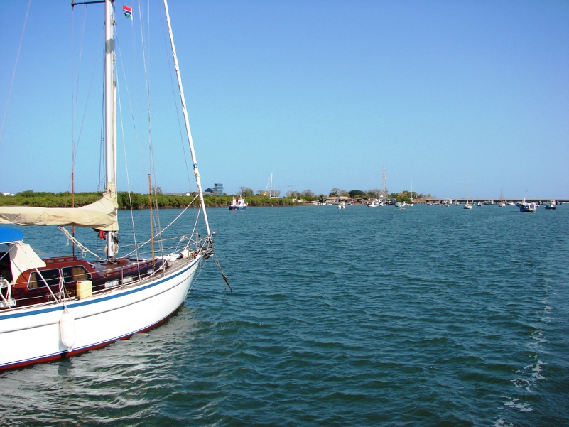
Accommodation:
There is a place to stay nearby and easily accessible by road
and boat called the Denton
Bridge Resort.
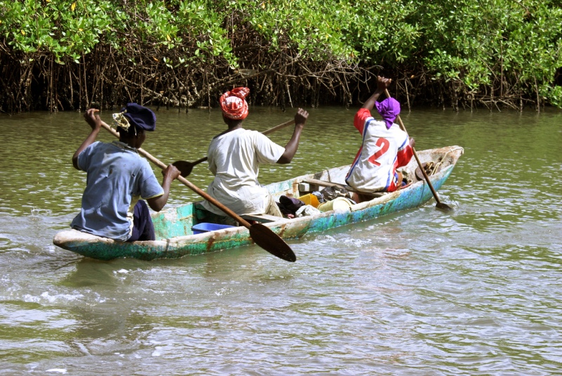
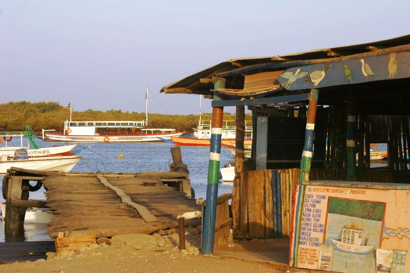
Oyster Creek Area:
The area to the east of the bridge is used mainly by fishing
 tour
operators and boating trip organisers in Banjul. tour
operators and boating trip organisers in Banjul.
 There
are also a number of peanut processing
warehouses, a factory and a fish processing plant their. There
are also a number of peanut processing
warehouses, a factory and a fish processing plant their.
Only a small part of the area is dry land and thus suitable for
building structures and the general area is just above sea level.
 Birds
present are resident breeders and Palearctic passage or winter
visitors are both represented. Birds
present are resident breeders and Palearctic passage or winter
visitors are both represented.
|